PROJECTS
Stump Dump Aerial Mapping
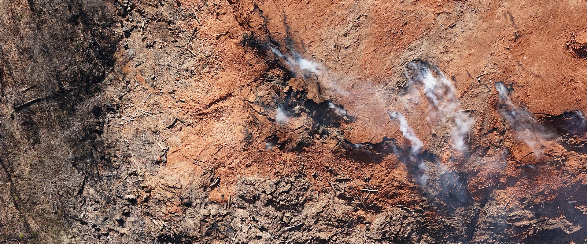
Arkansas Gov. Asa Hutchinson declared a state of emergency in January 2019 after an underground fire at a privately-owned tree and yard waste disposal site in Bella Vista threatened public health and safety.
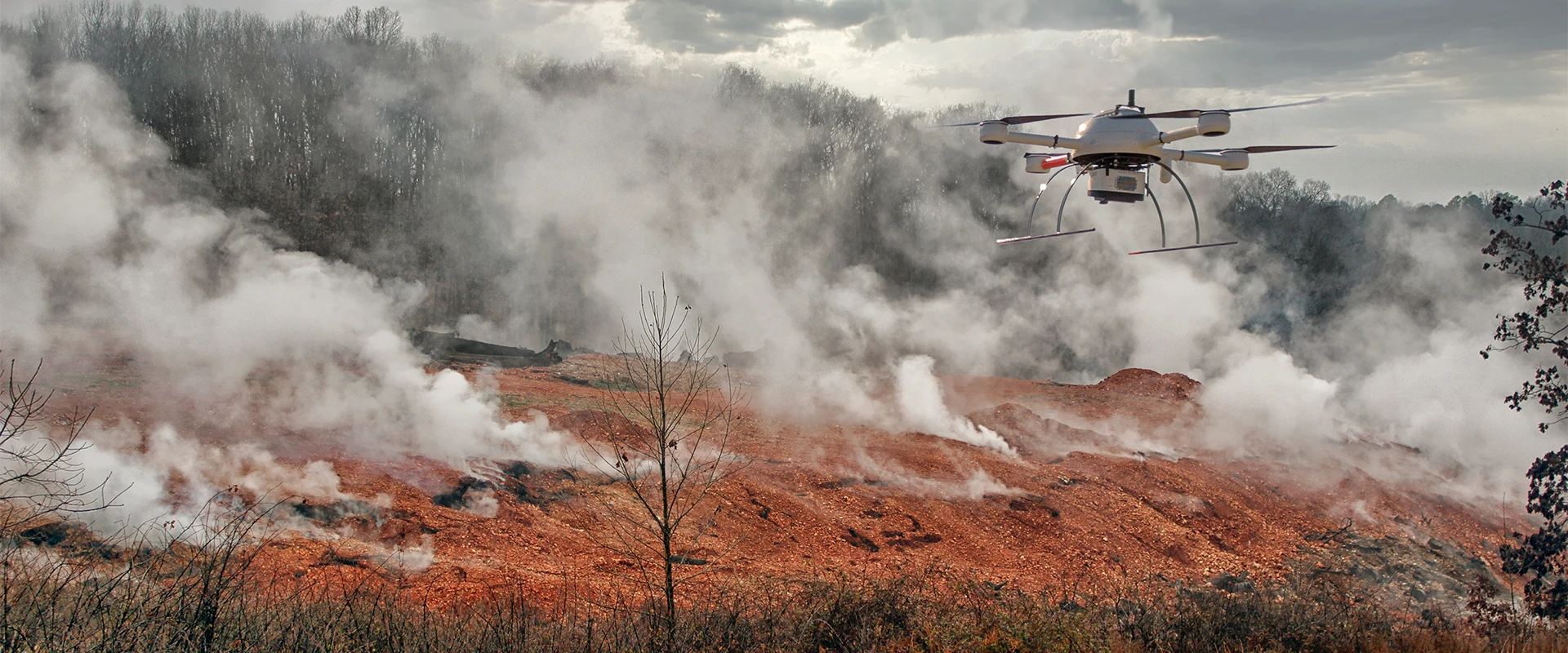
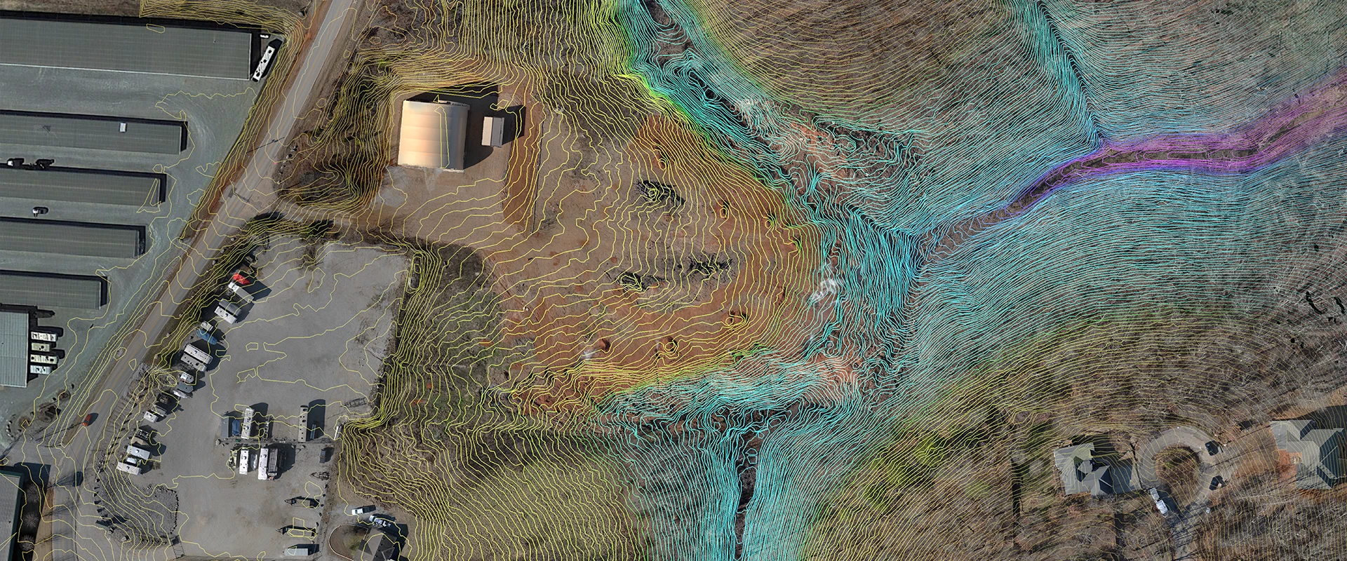
Crafton Tull was hired by the State’s representative for response actions, EnSafe, to survey and map the site. Conventional ground-based surveying methods at this hazardous location were too dangerous, so the team deployed the latest in aerial surveying technology. Crafton Tull used the Microdrones md1000dg with a LiDAR sensor to safely deliver a topographic survey, a contiguous point cloud, a digital elevation model, and an orthomosaic image of the project area.
ADEQ and EnSafe used the data collected by Crafton Tull to determine site characteristics and undertake early actions on the site, including the construction of a small dam and improvements to drainage channels and access points. These early mitigation efforts helped neutralize the most pressing threats at the stump dump before an actionable plan to extinguish the fire could be finalized.
As part of the remediation effort, 12,000 to 15,000 cubic yards of organic material was excavated and burned using air curtain technology. The stump dump fire was finally extinguished in July and cost more than $4 million.


