PROJECTS
Bentonville Stormwater Mapping
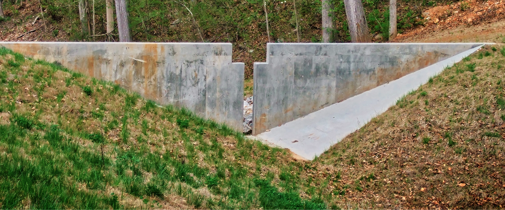
Stormwater regulations from government agencies are steadily increasing, and cities are now required to maintain an inventory of their entire stormwater network. In order to comply with these regulations, the City of Bentonville hired Crafton Tull to develop stormwater mapping for the entire city.
Crafton Tull prepared a Geographic Information System (GIS) database. Field survey data was gathered with handheld GPS survey instruments and data collectors. The data was then processed into a database format and linked to features shown on the map. Ultimately, the database was delivered to the City of Bentonville and incorporated into their existing GIS website. The data included precise horizontal coordinates and flowline elevations for the location of all pipes, curb inlets, and other drainage features located in the city.
Bentonville’s GIS mapping, including the stormwater features added by this project, can be viewed at http://gis.bentonvillear.com. The mapping is useful for city personnel, utility companies, consulting engineers, and the general public.